Artists
- Featured Contemporary Artists
- Diane Romanello
- Tim Fitzharris
- Alessio Aprile
- Lisa Audit
- Danhui Nai
- Chris Paschke
- Michael Mullan
- Albena Hristova
- Silvia Vassileva
- Anne Tavoletti
Museum-quality archival printing and customized framing made-to-order.
Subjects
- Featured Subjects
- Abstract
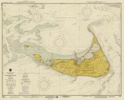
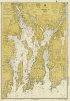
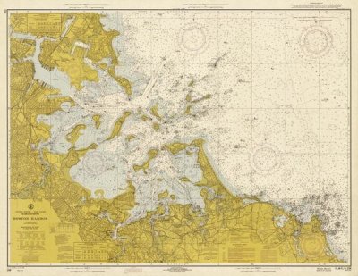
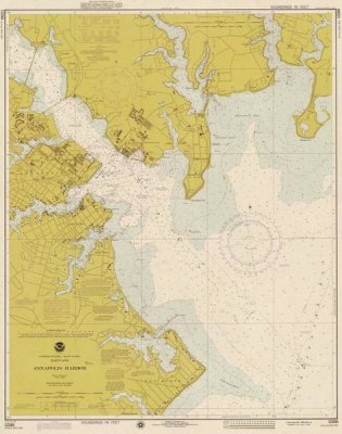
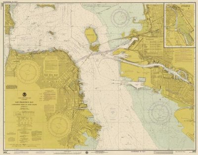
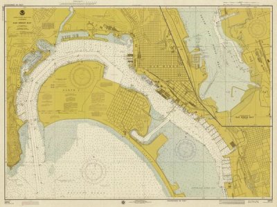
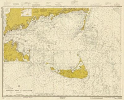
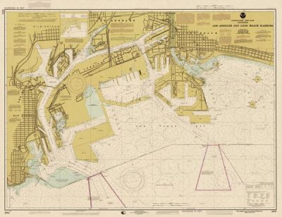
- Maps
- Still Life
- People/Figurative
- Historical
- Architecture
- Food and Cuisine
- Interiors
- Vintage Ads
- Western
- Nature and Landscapes
- Flowers and Plants
- Florals
- Bouquets
- Landscapes
- Waterscapes
- Beaches
- Forests and Woods
- Sunsets and Sunrises
- Astronomy and Space
- Animals
- Other Popular Subjects
- Boats and Ships
- Humor
- Fantasy
- Mythology
- Romance
- Activities
- Typography
- Religion and Spirituality
- Seasonal Art
- Children's Art
Museum-quality archival printing and customized framing made-to-order.
Styles
- Mediums
- Photography
- Drawings
- Etchings
- Illustrations
- Regions and Cultures
- American Art
- Asian Art
- Chinese Art
- European Art
- Japanese Art
- Other Popular Styles
- Decorative
- Classical
- Traditional
- Portraits
- Rococo
- Symbolism
- Expressionism
- Abstract Expressionism
- Art Nouveau
- Vintage
Museum-quality archival printing and customized framing made-to-order.
Features
- Shop by Room
- Living Room
- Bathroom
- Bedroom
- Kitchen
- Children's Room
- Office
- Media Room
- Powder Room
- Man Cave
Museum-quality archival printing and customized framing made-to-order.