The Big Sale
FOR A LIMITED TIME - 20% OFF EVERYTHING
ARTISTS
ARTISTS
FEATURED MUSEUM ARTISTS
Gustav Klimt
Franz Marc
Claude Monet
Georgia O'Keeffe
Rembrandt van Rijn
Raphael
Wassily Kandinsky
FEATURED CONTEMPORARY ARTISTS
Diane Romanello
Tadashi Asoma
Nino Mustica
Lucelle Raad
Serena Biffi
Adriano Galasso
ALL ARTISTS
A
B
C
D
E
F
G
H
I
J
K
L
M
N
O
P
Q
R
S
T
U
V
W
X
Y
Z
SUBJECTS
FEATURED SUBJECTS
VIEW ALL SUBJECTS
LANDSCAPES
ARCHITECTURE
WESTERN
MAPS
STILL LIFE
ABSTRACT
VINTAGE ADS
FLORAL
SEASCAPES
ANIMALS
STYLES
FEATURED STYLES
VIEW ALL STYLES
PHOTOGRAPHY
CONTEMPORARY
ASIAN ART
VINTAGE
RENAISSANCE
DECORATIVE
ABSTRACT
ART NOUVEAU
MODERN
FOLK ART
FEATURES
FEATURES
BEST SELLERS
NAUTICAL DECOR
SOUTHWEST SCAPES
COLLEGE COLLECTION
FALL DECOR
CONTEMPORARY FLORALS
SAFARI DECOR
MUSEUM MASTERS
VINTAGE BEER LABELS
TUSCAN LANDSCAPES
ROOMS
SHOP BY ROOM
BATHROOM
LIVING ROOM
OFFICE
MEDIA ROOM
BEDROOM
KITCHEN
CHILDREN'S ROOM
MAN CAVE
KNOWLEDGE CENTER
HOME
> COLLECTION >
OFFICE
>
MAPS
>
UNITED STATES MAPS
FILTER BY PRODUCT TYPE
PAPER PRINTS
Canvas Prints
Paper Prints
SORT BY:
POPULARITY
ARTIST
TITLE
Search By Artist
Search By Subject
Featured Collections
Office
MAPS
UNITED STATES MAPS
California Maps
Florida Maps
Maine Maps
Massachusetts Maps
New York Maps
Rhode Island Maps
Virginia Maps
Washington Maps
SUBJECT LIST
Abstract
+
Abstract Figurative
Abstract Florals
Abstract Illustrations
Abstract Landscapes
Abstract Still Life
Activities
+
Leisure
+
Painting And Drawing
Reading
Writing
Sports
+
Hunting
Advertising
+
Vintage Advertising
Americana
+
Americana Landmarks
Americana Patriotism
Animals
+
Birds
+
Eagles
Cats
Dogs
+
Hunting Dogs
Farm
+
Chickens
Cows
Fish
Horses
Sea Creatures
+
Starfish
Wildlife
+
Bison
Elephants
Lions
Mice
Antiquity
+
Household Objects
+
Vases
Jewelry
Precious Stones
Sculptures And Tombs
Weapons And Tools
Architecture
+
Architectural Drawings
Bridges
Buildings
Churches
Columns
Doorways
Exteriors
Landmarks
Lighthouses
Skyscrapers
Stairs
Astronomy And Space
+
Observatories
Planets
City Life
Color Study
Cuisine
+
Food
+
Fruits And Vegetables
Dance
Decorative
Fantasy
+
Horror
+
Skeletons
Magical
+
Angels
Dragons
Sphinx
Fashion
+
Historic Fashion
Figures
+
Figure Studies
Illustrated Figures
Nudes
Flowers And Plants
+
Botanical
+
Bamboo
Ferns
Leaves
Floral
+
Bouquets And Arrangements
Lilies
Magnolias
Poppies
Gardens
Trees
+
Aspen Trees
Birch Trees
Foliage
Oak Trees
Historical
+
Historical Events
Historical Figures
Historical Landmarks
Humor
+
Animal Humor
Interiors
+
Hallways
Landscapes And Scenery
+
Canyons
Cityscape
+
Skylines
Streets And Alleyways
Country Roads
Countryside
Deserts
Forests And Woods
Mountains
Night Scene
Prairies And Fields
Snowscapes
Sunsets And Sunrises
Life Scenes
Manuscripts
Maps
+
Specialty Maps
United States Maps
+
California Maps
Florida Maps
Maine Maps
Massachusetts Maps
New York Maps
Rhode Island Maps
Virginia Maps
Washington Maps
World Maps
Military
Music
+
Instruments
+
Violin
Musicians
Scores
Mythology
People
+
Children
Family Life
Men
Women
Places
+
Africa
Europe
+
England
France
Italy
Mexico
Oceania
+
Australia
United States
+
Arizona
California
Colorado
Illinois
Massachusetts
Montana
New Jersey
New Mexico
New York
Pennsylvania
Washington D.C.
Wyoming
Portraits
+
Mens Portraits
Womens Portraits
Religion And Spirituality
+
Christianity
Seasons
+
Fall
Summer
Winter
Still Life
+
Pottery Still Life
Street Scenes
Transportation
+
Boats And Ships
+
Rowboats
Sailboats
Tall Ships
Cars
+
Antique Cars
Planes And Helicopters
+
Antique Airplanes
Military Airplanes
Trains
Travel
Typography
+
Calligraphy
Motivational
Phrases And Quotes
Vintage
Waterscapes
+
Beaches
Canals
Harbors
Lakes And Ponds
Lighthouses
Ocean
+
Waves
Rivers
Seaside
Weather
+
Clouds
Fog
Snow
Western
Work And Professions
+
Labor
World Culture
+
Native American
NEWSLETTER SIGN UP
Office
38 Items Found | Page 1 of 2 |
NEXT
Carte Generale Des Etats, 1865
E. Andriveau-Goujon
Nautical Chart - Nantucket Island ca. 1975
NOAA Historical Map and Chart Collection
Nautical Chart - Tampa Bay - Northern Part ca. 1975 - Sepia Tinted
NOAA Historical Map and Chart Collection
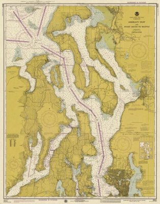
Nautical Chart - Admiralty Inlet and Puget Sound to Seattle ca. 1975 - Sepia Tinted
NOAA Historical Map and Chart Collection
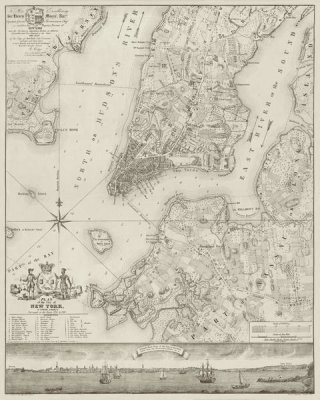
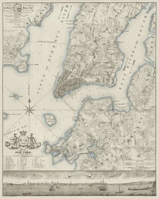
Plan of the City of New York, copied from the Ratzer Map - Decorative Blue Shading
New York Common Council
Plan of the City of New York, copied from the Ratzer Map. Surveyed in the Years 1766-1767.
New York Common Council
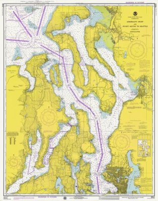
Nautical Chart - Admiralty Inlet and Puget Sound to Seattle ca. 1975
NOAA Historical Map and Chart Collection
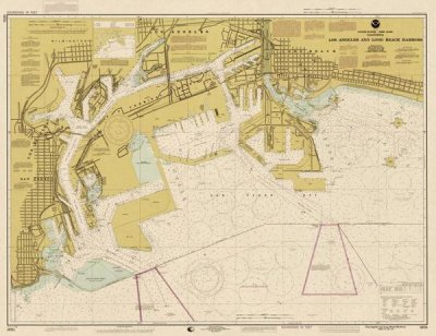
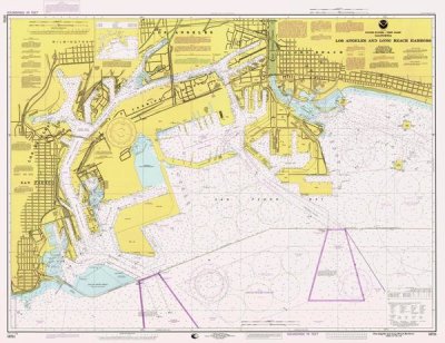
Nautical Chart - Los Angeles and Long Beach Harbors ca. 1998
NOAA Historical Map and Chart Collection
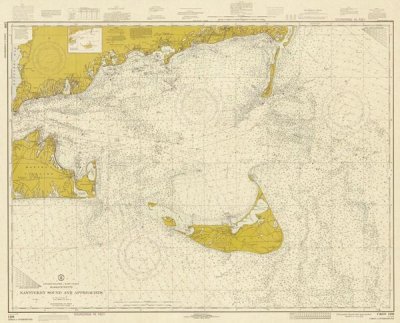
Nautical Chart - Nantucket Sound and Approaches ca. 1973 - Sepia Tinted
NOAA Historical Map and Chart Collection
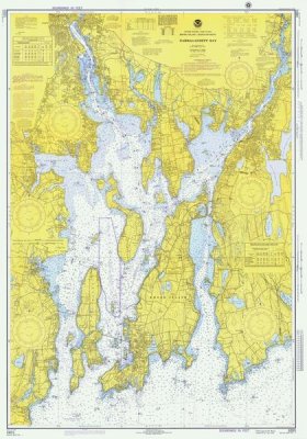
Nautical Chart - Narragansett Bay ca. 1975
NOAA Historical Map and Chart Collection
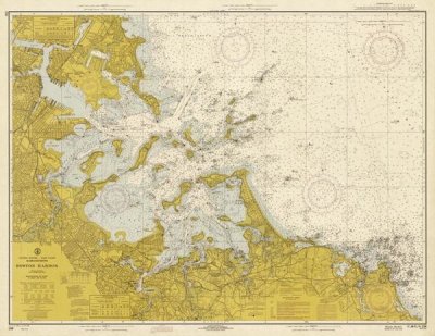
Nautical Chart - Boston Harbor ca. 1970 - Sepia Tinted
NOAA Historical Map and Chart Collection
Nautical Chart - San Francisco Bay ca. 1975 - Sepia Tinted
NOAA Historical Map and Chart Collection
Nautical Chart - Annapolis Harbor ca. 1975 - Sepia Tinted
NOAA Historical Map and Chart Collection
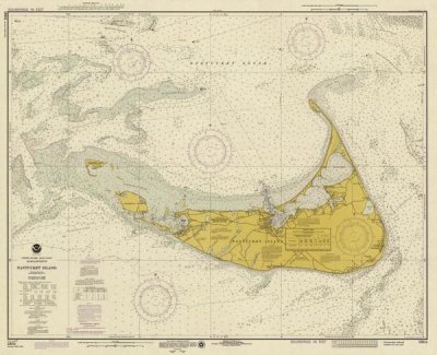
Nautical Chart - Nantucket Island ca. 1975 - Sepia Tinted
NOAA Historical Map and Chart Collection
Nautical Chart - Annapolis Harbor ca. 1975
NOAA Historical Map and Chart Collection
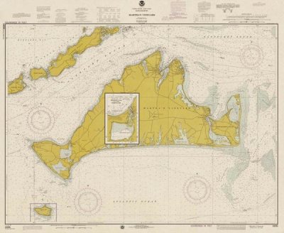
Nautical Chart - Marthas Vineyard ca. 1975
NOAA Historical Map and Chart Collection
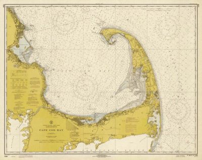
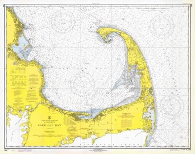
Nautical Chart - Cape Cod Bay ca. 1970 - Sepia Tinted
NOAA Historical Map and Chart Collection
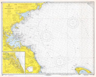
Nautical Chart - Massachusetts Bay ca. 1970 - Sepia Tinted
NOAA Historical Map and Chart Collection
Nautical Chart - San Diego to Santa Rosa Island ca. 1975 - Sepia Tinted
NOAA Historical Map and Chart Collection
Nautical Chart - San Francisco Bay ca. 1975
NOAA Historical Map and Chart Collection
Nautical Chart - Marthas Vineyard ca. 1975 - Sepia Tinted
NOAA Historical Map and Chart Collection
Map of the City of New York showing original high water line and the location of different Farms and Estates, 1853
New York Common Council
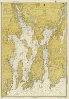
Nautical Chart - Narragansett Bay ca. 1975 - Sepia Tinted
NOAA Historical Map and Chart Collection
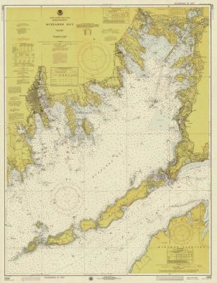
Nautical Chart - Buzzards Bay ca. 1974 - Sepia Tinted
NOAA Historical Map and Chart Collection